Benefits to Introduction
Utilize photogrammetry with automated drone flights and laser survey with ground-based LiDAR Data is processed by dedicated software and converted into valuable data.
-

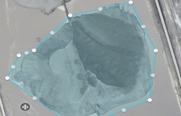
Data acquisition of the entire site
By automatically navigating the drone, we can periodically take pictures from the same point and angle for safety and maintenance management.
-

Increased work efficiency
Images are stored in the cloud and can be viewed and compared in chronological order and easily shared with external parties.
-

Reduction of Time and Costs
Appropriate selection of hardware and software for ground LiDAR and drones according to the field environment will lead to time and cost savings.

Yard inventory operations
In environments where drones cannot fly, LiDAR on a ground vehicle or backpack LiDAR can be used.


Civil Engineering Survey
Obtaining and storing survey data necessary for completion management and daily construction progress management.

Disaster Countermeasures
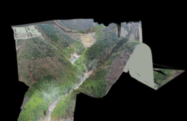
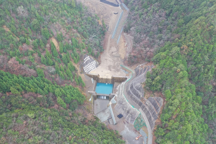
Quickly create photo data and 3D models using drones, which are necessary before carrying out disaster recovery work.
Case Study
Chuden Engineering Consultants
Advanced Technology to Prepare for Flood Damage: Use of Drone Technology in Emergency Survey of Natural Dams
The construction road that accesses the Nagatono area is impassable due to the swelling of the river, making it difficult for surveyors to enter the natural dam. Therefore, we used a drone to conduct distant surveillance flights of the river channel (No. 2 erosion control weir, temporary drainage channel, and top of the natural dam) and large-scale collapsed slopes to gain a general understanding of the sediment movement status of the entire natural dam.
Usage Flow

Solution design
Depends on your goal, we design the solution, calculate profitability (return on investment) and draw business model.

Technology Selection
We determine the specification for the solution (e.g., drone or camera, flight route etc.)

Proof of Concept
We conduct Proof pf Concept to evaluate technical and business feasibility.

Joint Project
We develop an automatic flight system according to your goal.

Customer success
Our customer success team support by telephone or e-mail for any troubles or unclear points that occur when you use it.
Our services are being used by a variety of major companies.
(Order of the Japanese syllabary)